Plan every mile of the ride
Multi-day routes with typed waypoints and real road routing on a live map: the first feature we built, and the one that shapes the rest.
The details that make a real trip work
Multi-day itineraries
Group waypoints by day. Day 1: Bolzano to Cortina. Day 2: the big passes. Day 3: head home. The app knows which stops belong to which day.
Ten waypoint types, from fuel stop to pass summit
Fuel, food, overnight, scenic, photo, mechanical, ferry, pass summit, rally point and a plain stop — each with its own icon on the map and in the itinerary list.
Real road routing
Mapbox Directions computes the actual motorcycle-friendly route between stops. No straight-line approximations — real tarmac, real mileage.
Privacy controls
Three visibility levels. Private means only you. Unlisted means anyone with the link. Public means discoverable in the Discover feed.
Invite riders
Organiser invites specific riders, or opens a public trip up to a cap. Each rider can RSVP Going, Maybe or Declined — and pick which bike they're bringing.
Drafts
Save half-finished trips as drafts. Only you see them. Come back, add the last three stops, then publish when you're ready to share.
Difficulty tags
Easy, Moderate, Challenging, Expert. So nobody joins an expert pass route thinking it's a Sunday cruise.
Share anywhere
Every published trip has a canonical URL. Send it to a group chat, post it to Discord, tweet it — it renders with the route as a preview.
From empty map to saved ride in four steps
Start with a blank map
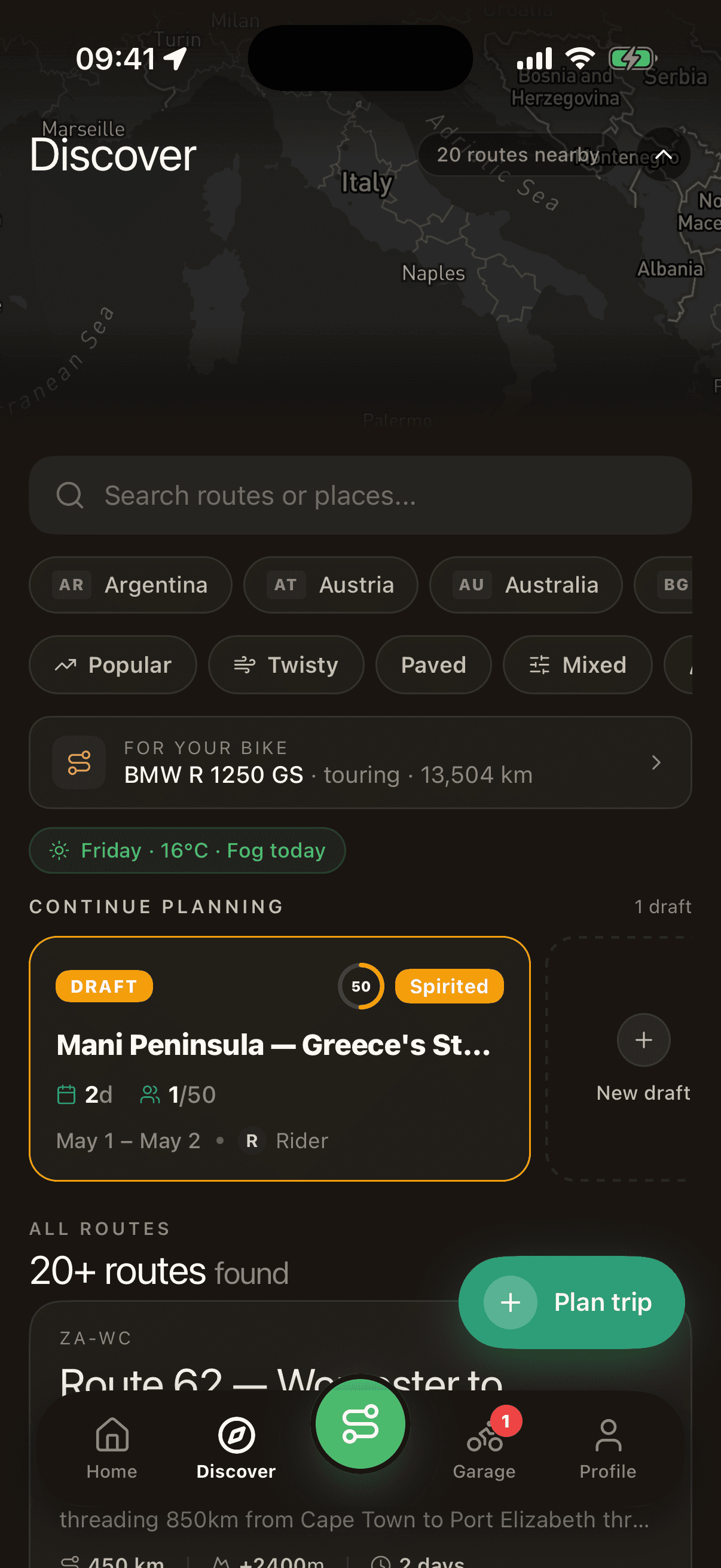
Tap the + button in Discover and a full-screen dark map opens, ready for your next adventure. Long-press anywhere to drop a stop, or search for a city, pass, coffee spot or fuel station.
Add typed waypoints along the route
Each stop is more than a pin. Choose from ten types — fuel, food, overnight, scenic, photo, mechanical, ferry, pass summit, rally point or a plain stop — and add notes. The stepper groups waypoints by day.
Name the trip, set the difficulty
Title, description, start and end dates, difficulty (Easy, Moderate, Challenging, Expert), max riders, and visibility (Private, Unlisted, Public). Every field is optional at first — you can come back and polish before publishing.
Keep it as a draft or share the link
Save as a draft to keep iterating. Publish to open invites to friends, or make it public so the community can discover and join your ride. Drafts live in your My Trips, only visible to you.
A motorcycle trip planner for multi-day routes
MotoVault is a motorcycle trip planning app for multi-day tours. Build a route with typed waypoints — fuel, food, scenic stops, overnights, passes, ferries — on a live map with real motorcycle-friendly road routing. Invite riders, share the link, export GPX for your planner or GPS. Free on iOS and Android.
Why we built this first
Every rider we talked to had the same problem: planning a real motorcycle trip means juggling five apps. Google Maps for roads, a notes app for stops, a weather app for the pass, a messaging thread for friends, a spreadsheet for fuel budgets. It's friction every step of the way. Trip planning was the first feature we shipped because it's the feature most riders need — and because if we could nail this, everything else about MotoVault would follow from it.
The Dolomites loop, three days
This is an actual trip built with MotoVault: Bolzano → Passo Sella → Cortina d'Ampezzo → Passo Pordoi → Canazei → Ortisei → Passo Gardena → Bolzano. Eight typed waypoints, three days, rendered on a live map with real road routing.
A trip, from first draft to the ride
Bolzano goes down first as the Start — "gear check & coffee before departure". Passo Sella drops as a Scenic stop with the note "Iconic Dolomite pass, photo stop". Then Cortina d'Ampezzo as Overnight, Passo Pordoi as Pass Summit, Canazei as Fuel, Ortisei as Overnight, Passo Gardena as Scenic, Bolzano as End. The app groups them into Day 1, Day 2 and Day 3.
Named "Dolomites Loop — 3 Days", rated Moderate, capped at 8 riders, it sits as a Private draft until a better overnight in Ortisei is swapped in. Then visibility goes to Public and the trip is live on Discover, with the itinerary in a sheet that slides up over the map.
Questions, answered
Does the app actually route on real roads, or does it draw straight lines?
Real roads. Between any two waypoints, we call Mapbox Directions with motorcycle-friendly routing and render the actual polyline you would ride. Zoom in on any segment of the Dolomites Loop above — you can see the hairpins.
Can I plan a trip before I invite anyone?
Yes. Every trip starts as a draft, visible only to you. You can build and edit it across multiple sessions, and only publish when you are ready to share.
What happens if I invite people and only half of them can make it?
Each rider RSVPs Going, Maybe or Declined, and picks which bike they are bringing. You see the count in the trip header (for example, 0/8 riders) and the full list of participants below.
Can I plan a trip that covers multiple countries or crossings?
Yes. There are no borders in the map — add a Ferry waypoint for a Mediterranean crossing or a Pass Summit for a mountain crossing. The routing engine handles anything Mapbox can route.
How many waypoints can one trip have?
There's no hard cap you would hit in normal use. The real constraint is readability — past 15 or 16 stops on a single day the itinerary gets busy. Split into multiple days to keep it clean.
Can I export the trip to another app?
Yes. Export the trip as a GPX file from the trip screen and import it into your planner or GPS. Every published trip also has a web link with a route preview; share it from the trip screen and viewers do not need the app.
Start the logbook before the next ride.
Free on iOS and Android. Maintenance, expenses and rides, one record per bike.